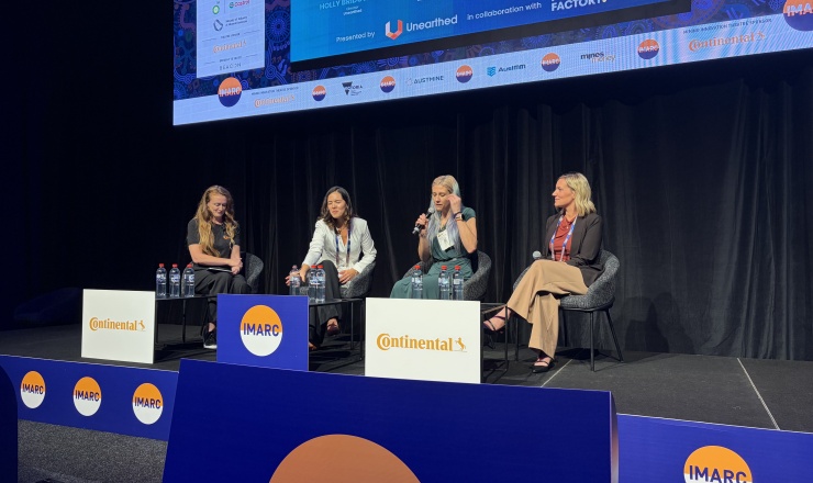
Funding the Future of Mining Tech at IMARC 2025
Hosted by Unearthed in collaboration with Founders Factory , our session “Funding the Future of Mining Tech” brought together a
Read articleUnearthed announced the winners of the Explorer Challenge on 28 June 2019, following three intensive months (and undoubtedly many cups of coffee) as teams competed for a share of a A$1 million prize pool to develop new ideas about mineral exploration.
In a bold move, mining company OZ Minerals handed over more than two terabytes of private data from their own exploration project, in addition to over three terabytes of public data, in order to crowdsource predictions on the next mineral deposit in South Australia. Teams consisting of geologists, geoscientists and data scientists stepped up to the challenge, finding new ways to overhaul and optimise the mineral exploration process.
Team Phar Lap’s members are currently active in various companies, with their experience spanning countries including Germany, China and Peru. Dr Eichstaedt and Bill Marr work within the Dimap Group, which is active worldwide and is the only commercial provider of complex Hyperspectral based multi-sensory surveys.
Dr René Kahnt is a theoretical physicist with independent consulting and planning company G.E.O.S. in Germany and has been responsible for department modelling and risk analysis since 2006. Mathias Helbig, also with G.E.O.S., has a background in project engineering and is responsible for modelling and risk evaluation.
ImageAir founder Rohan Lloyd has been involved in the aerial work industry for more than 20 years, with experience in providing data with Near InfraRed (NIR) and Thermal InfraRed (TIR) technology. Rohan focuses on orthophotography, LIDAR and digital terrain modelling.
The team decided on a mixed approach between geological interpretation and data crunching, with a strong focus on controlled learning. Additionally, they decided to collect high-resolution hyperspectral surface expression data, which was used for a reinterpretation of the geologic structures and machine learning process. As a first step in the interpretation of the geological structure, they used details based on SARIG data and drill data, as well the new mineral maps from the hyperspectral data.
During “machine learning level 1” they used geophysics and geochemistry data enriched with satellite data to produce a map of regional mineralisation probabilities, checked against some known deposits. “Machine learning level 2” generated information based on the surface expression found in the spectral signatures of the airborne data and geochemistry. This data was given a second interpretation of the scene and learned again on the hard results of drill holes. “Machine learning level 3” helped to create local target maps, from which 12 preferred target areas were chosen.
The result was thus based on a combination of the geophysics-based learning results and the surface learning results, and provided a fusion between the geophysical, geochemical and hyperspectral surface expressions. Targets were defined on probability indices normalised to area units," explained Dr Holger Eichstaedt.
Winning the Data Hound prize has given credibility to the approach taken by Team Phar Lap. Combining surface expression and geophysics data using complex machine learning models for the first time as a proof of concept will allow the team to reach out to their existing client network for further discussion and research.
While most of our clients are struggling with bridging the gap between these two worlds, the Explorer Challenge gave us a chance to develop and verify methods with rich data from both worlds,” said Dr Eichstaedt.
We plan to work further on developing a marketable solution. We have begun discussions with various clients and government bodies in Australia and abroad.